Why choose Cloudbase for your RTK needs?
Improved Efficiency
With our RTK, you can reduce overlap, save time, and reduce input costs, potentially increasing efficiency and profitability.
Increased Yields
By optimising your operations using RTK, you can make use of every available section of your field for all operations, from planting to spraying to harvesting, which help you achieve higher yields and better quality crops.
Cost-Effective
Our RTK is affordable, it offers transparency regarding your operations and is backed by a British team who understand RTK and farming and can support you and your Farm.
RTK for Precision Agriculture Subscription Pricing
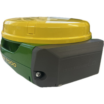
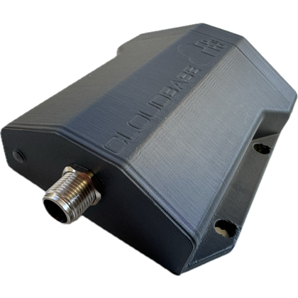
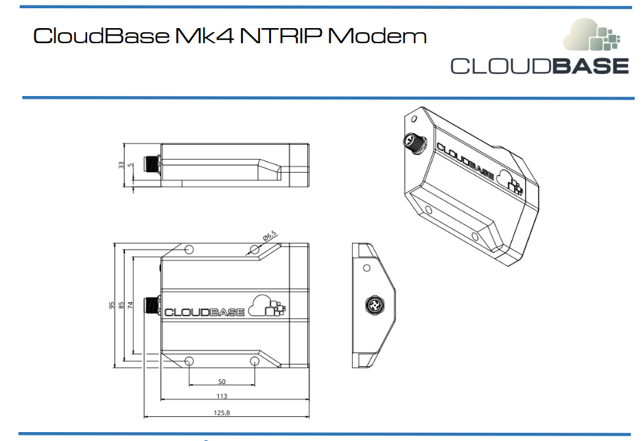
We also manufacture and supply 4G LTE modems to support your existing guidance system?
Understanding RTK in Agriculture
Understanding RTK in Agriculture
RTK stands for Real-Time Kinematics. RTK is used to provide highly accurate positioning data to farmers and growers. This allows them to precisely control their equipment, optimise their operations, and reduce costs. RTK corrections use a combination of GPS and other major satellite constellations to provide sub-centimetre accuracy in real-time.
RTK guidance systems can provide sub-centimetre accuracy when paired with an RTK subscription, meaning that it can precisely repeat your field boundaries and tramlines to within a few millimetres. This level of accuracy is essential for precision farming, where even slight variations can have a significant impact on input costs.
CloudBase RTK (Real-Time Kinematics) is a GNSS (Global Navigation Satellite System) correction service that provides highly accurate positioning information for surveying and mapping applications. The accuracy of CloudBase RTK depends on several factors, including the quality of the GNSS signal, the number of available satellites, and the distance to the nearest RTK base station; we aim for millimetre accuracy and repeatability.
An RTK capable GPS/GNSS receiver is a device that not only tracks satellite constellations to determine its estimated position but also has the means to receive RTK correction data from either a static RTK Base station or over NTRIP (Networked Transport of RTCM via Internet Protocol) which improves the estimated position to a millimetre repeatable accurate position.
In its simplest form RTK can be achieved by using a rover (mobile receiver) and a single base station.
An RTK network comprises of multiple RTK base stations which are connected together through software, this enables the end user (Rover) to roam within range of any one of these reference stations without user intervention. This is a “Nearest Base” solution.
An RTK system that needs the user to instruct the receiver which reference station it should be connected to is a “Single base” solution and is not an RTK Network.

Book Your CloudBase RTK Consultation
Contact us today to schedule a consultation with one of our experts in RTK, or to learn more about our products and services. We look forward to hearing from you.

